If you look at a Namibian map, there is an Ocean bordering the West coast and massive rivers forming the borders with its southern and northern neighbours, but the Eastern border is made up of a bunch of straight lines (maybe the ruler slipped when the lines were being drawn and instead of starting from scratch, they just connected the two straight lines) and a funny sticky-out bit.
It’s that funny, sticky out bit that I would like to chat about today. Until 2013 this was known as the Caprivi region, but this has now been renamed Zambezi.
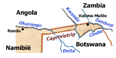
This area has a very interesting history, quite different to the rest of the Country!
Until the end of the 19th century, this region was known as Itenga and was under the control of the Lozi Kings, from Barotseland, which makes up part of modern day Western Zambia, it later formed part of the British protectorate of Bechuanaland, today known as Botswana.
Then is became a bargaining chip!
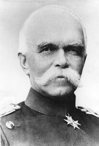
In 1890 the Germans laid claim to Zanzibar, which was under British administration, the Brits objected, and the matter was finally settled at the Berlin conference when Queen Victoria acquired Zanzibar and Germany acquired the Caprivi strip. This strip was named after the German Chancellor, General Count George Leo von Caprivi di Caparadi Montecuccoli.
The reason that Germany wanted the swop, was to create a corridor from what was then known as South West Africa to the then German colony of Tanzania (German East Africa)
Problem with this idea was that the Victoria Falls faces the wrong direction and they would never be able to use the waterways to travel from South West Africa to German East Africa. (damn that laws of physics-thing)
After the First World War Germany lost control of its colonies and the then South West Africa fell under South African military rule, until the 1960’s the Caprivi was considered ‘useless’, remote and of no benefit; because of this neglect and oppression a form of nationalism, in the form of the Caprivi African National Union rose up and in 1972 the Eastern section of the Caprivi was given a pseudo-independence with limited legislative powers, feeding in directly to the administrative office in Pretoria.
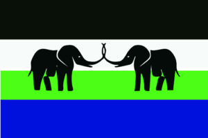
It was only in 1980 that control of the province was handed over to the South African administrators in Windhoek, and this administration remained in place till Namibian independence in 1990.
Caprivi only became one of the 13 political regions of Namibia in 1992, 2 years after independence.
As if this was not enough to keep your head spinning, the Caprivi Strip also played a very strategic geo-political role in a number of wars and skirmishes from the 1970’s until the Angolan civil war ended in 2002, with various armed forces using the Caprivi Strip as a corridor to access opposing territories.
Thankfully, much has changed in the Caprivi, it has settled down to a stable democracy, as part of Namibia.
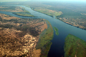
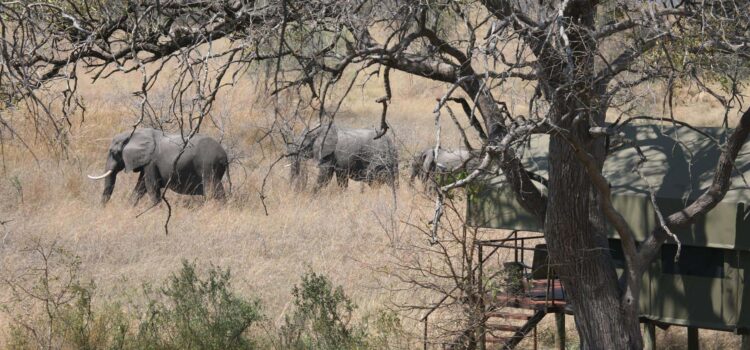
At the dawning of the 21st century, very few international visitors travelled to the Caprivi/Zambezi; viewing it as quite daunting and remote, but over the last decade this has also started changing, with infrastructure development and investment in new lodges and tourism products, the Caprivi/Zambezi, whilst often seen as a second-time visitor’s destination, offers the visitor a very different visage to the rest of Namibia; with its lush green reed beds, flood plains and permanent waterways.
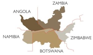
The Zambezi is 14,785 sq km (5,709 sq miles) in size and boasts an impressive FOUR National Parks, 4 of the Big Five and 430 species of bird, it has borders with 4 countries and (as if that was not enough) sits in the heart of the Kavango Zambezi (KAZA) Transfrontier Park, which covers an area larger than Germany and Austria combined!
A veritable African paradise!
